Python for Hyperspectral Remote Sensing
Save hours and master the complexities of hyperspectral satellite imagery—no prior experience needed!
Struggling with Hyperspectral Data? We’ve Solutions For You!
Date: Jan 4-5 and 11-12, 2025
Time: 7:00 PM - 9:00 PM IST | Weekends Only
Duration: 8-10 hours of interactive live instruction + hands-on project work
Mode: Online, live classes via Zoom
Instructor: Mr. Rahul Koley
Simplify your journey into hyperspectral imaging with practical, focused training. Learn to preprocess, analyze, and classify hyperspectral data for Land Use Land Cover (LULC) mapping with ease. From noise reduction to generating detailed maps, we’ll guide you step-by-step through the tools and techniques. Unlock advanced geospatial insights effortlessly with Indaca’s comprehensive workshop!
Boost Project Success
Achieve guaranteed results in hyperspectral remote sensing with our workshop, even if you have no prior experience in Python or remote sensing techniques!


Save Research Time
Save hours of research time and find solutions with our workshop on python for hyperspectral remote sensing.
Save Time and Find Solutions
Project Success Guaranteed


WHAT IF I TOLD YOU...
Master Python for Hyperspectral Remote Sensing and Save hours daily and unlock powerful tools to solve spatial data challenges efficiently—no prior coding experience needed.
You'll Gain:
Hands-on training using Python and Google Colab for hyperspectral satellite image analysis.
Exploration of real-world hyperspectral datasets like AVIRIS and Hyperion.
Building powerful classification models using Machine Learning (ML) and Deep Learning (DL) techniques.
LULC map generation and accuracy assessment using Python and QGIS.
Expert insights on real-world applications in agriculture, urban planning, and environmental monitoring.
Do not miss if you are:
GIS and Remote Sensing Professionals - Gain advanced expertise in hyperspectral data preprocessing, analysis, and classification.
Environmental Scientists and Planners - Utilize hyperspectral LULC mapping for applications in agriculture, urban planning, and environmental monitoring.
Academicians and Researchers - Leverage cutting-edge techniques in LULC mapping for innovative research and publications.
Data Science Enthusiasts - Explore how Machine Learning (ML) and Deep Learning (DL) can be applied to geospatial datasets.
Students in Geography, Geoinformatics, or Earth Sciences - Build foundational skills for a career in geospatial analysis using open-source tools.
Government and NGO Personnel - Develop actionable insights for policy-making and environmental management.
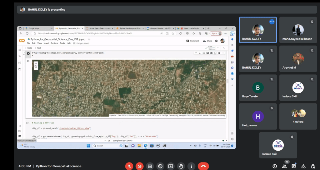
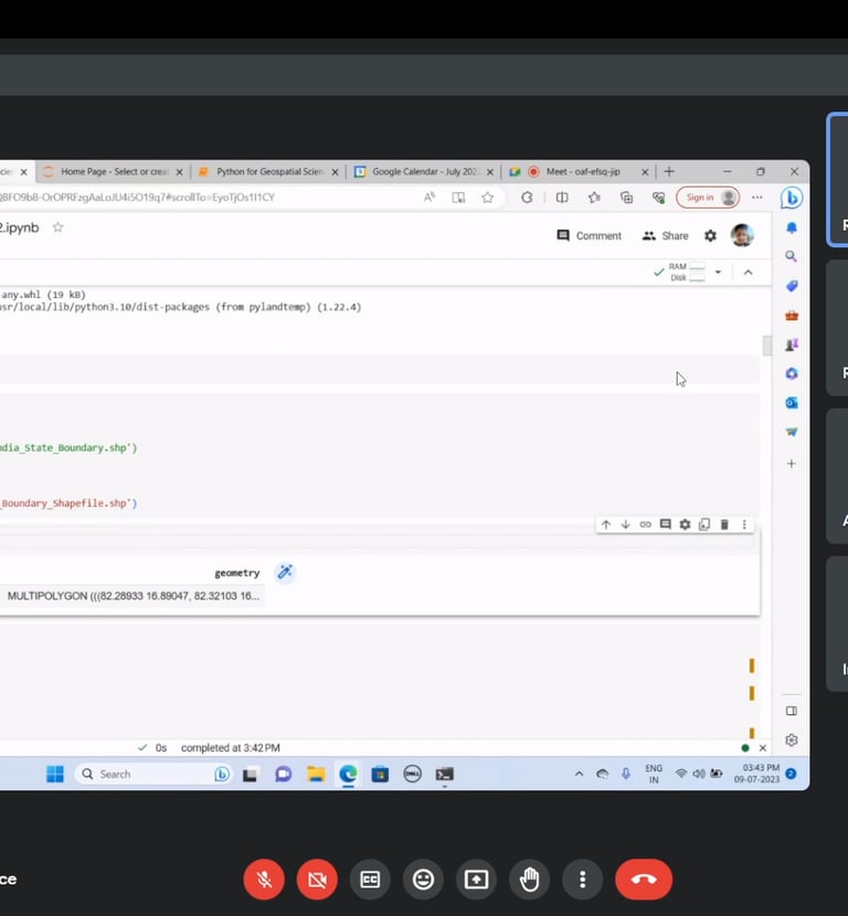
Workshop Gallery
Explore past sessions and learn from experts in hyperspectral remote sensing.


Content
Explore past sessions and learn from experts in hyperspectral remote sensing.
What You’ll Learn
Introduction to Hyperspectral Imaging and LULC Mapping
Basics of hyperspectral imaging and its applications in LULC mapping.
Accessing and visualizing publicly available hyperspectral datasets.
Overview of LULC classification schemes (e.g., USGS Level I-IV).
Preprocessing Hyperspectral Data
Techniques for noise reduction, atmospheric correction, and dimensionality reduction.
Spectral signature analysis for identifying unique LULC class features.
Hands-on preprocessing using Python.
Building and Training Classification Models
Deep dive into Machine Learning (SVM, Random Forest) and Deep Learning (CNN).
Training CNN-based models for hyperspectral LULC classification using TensorFlow/Keras or PyTorch.
Hands-on implementation of classification models.
LULC Map Generation, Evaluation, and Applications
Generating LULC maps with QGIS and Python.
Assessing classification accuracy (Confusion Matrix, Kappa Coefficient, Overall Accuracy).
Applications of LULC mapping in real-world scenarios like agriculture and urban planning.

Like this training upcoming days should be more training for learning enhancement
Ishtiaq Ahmed, Central University of Punjab, India


★★★★★
The session is awesome
Shrinwantu Raha, Bhairab Ganguly College, Kolkata
★★★★★
Well organized workshop - Bindu K B, Department of Geography, Kannur University
★★★★★
Watch Past Sessions
Can't Wait to Register for upcoming session!
Do not wait! Buy session recordings now!

Contact Us


Have questions about our workshop? Contact us today for more information and to register!
Contacts
contact@indaca.in
Socials
Subscribe to our newsletter
Copyright © 2025 Indaca Institute of Skills, All rights are reserved
WhatsApp: (+91) 9038413517
Call: (+91) 7439308037
